Gunung Brinchang

Mountain

Gunung Brinchang Mountain
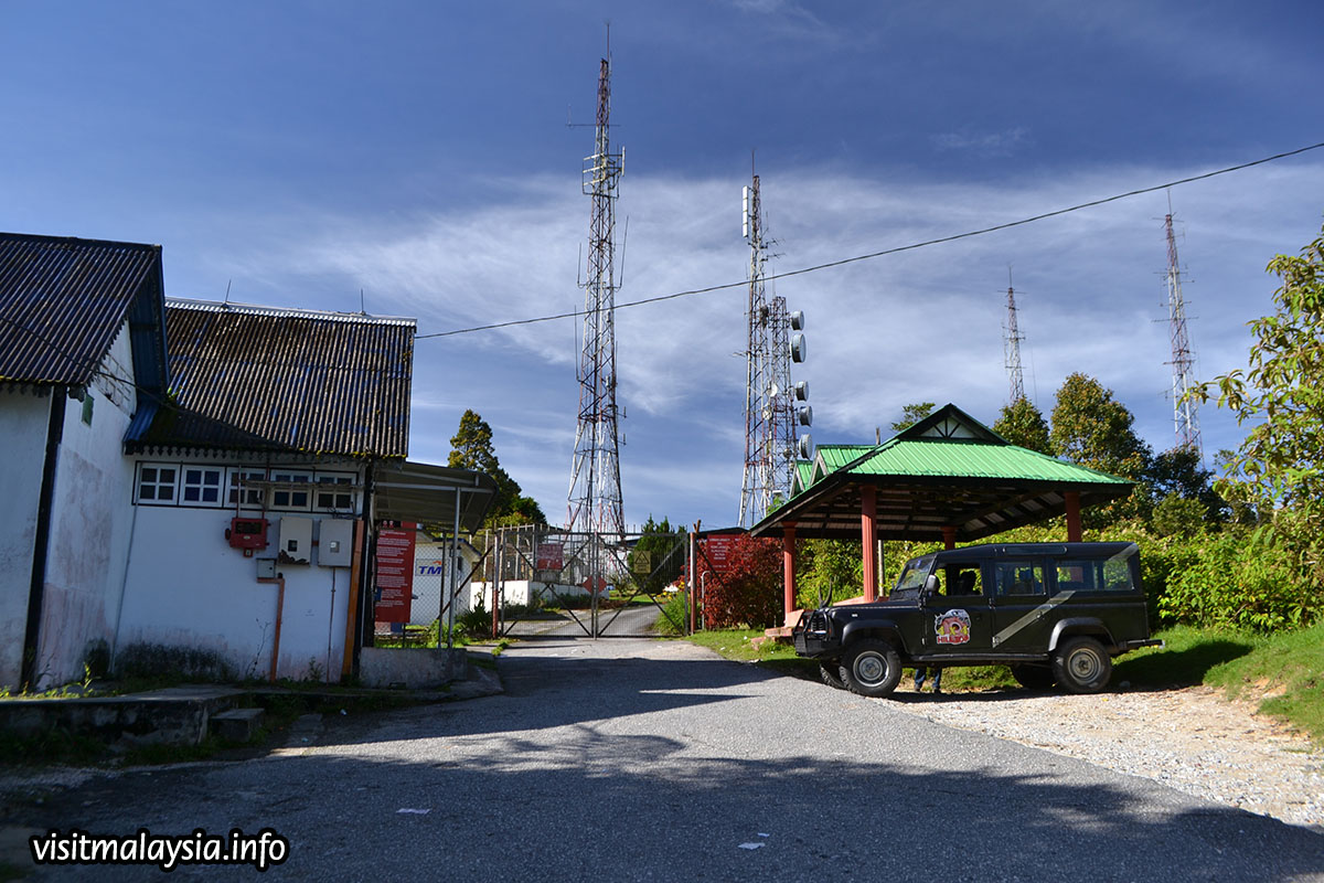
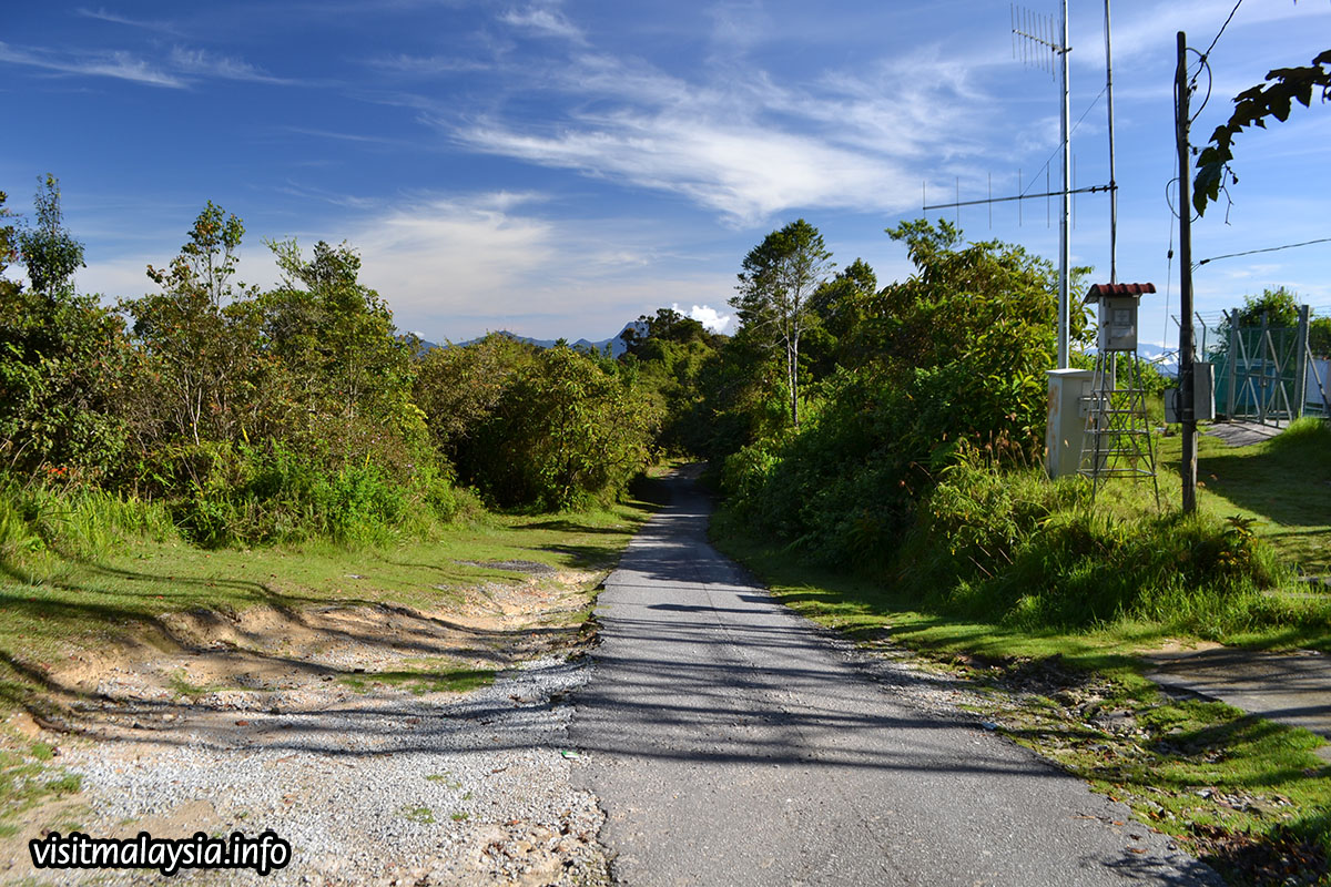
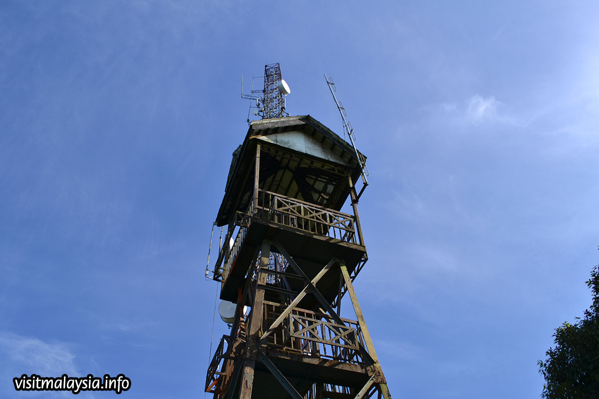
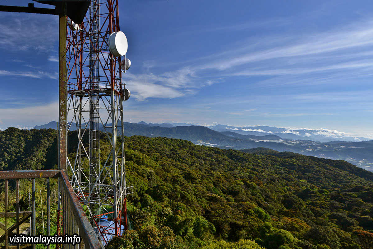
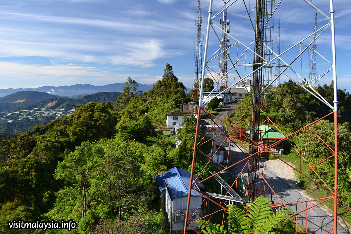
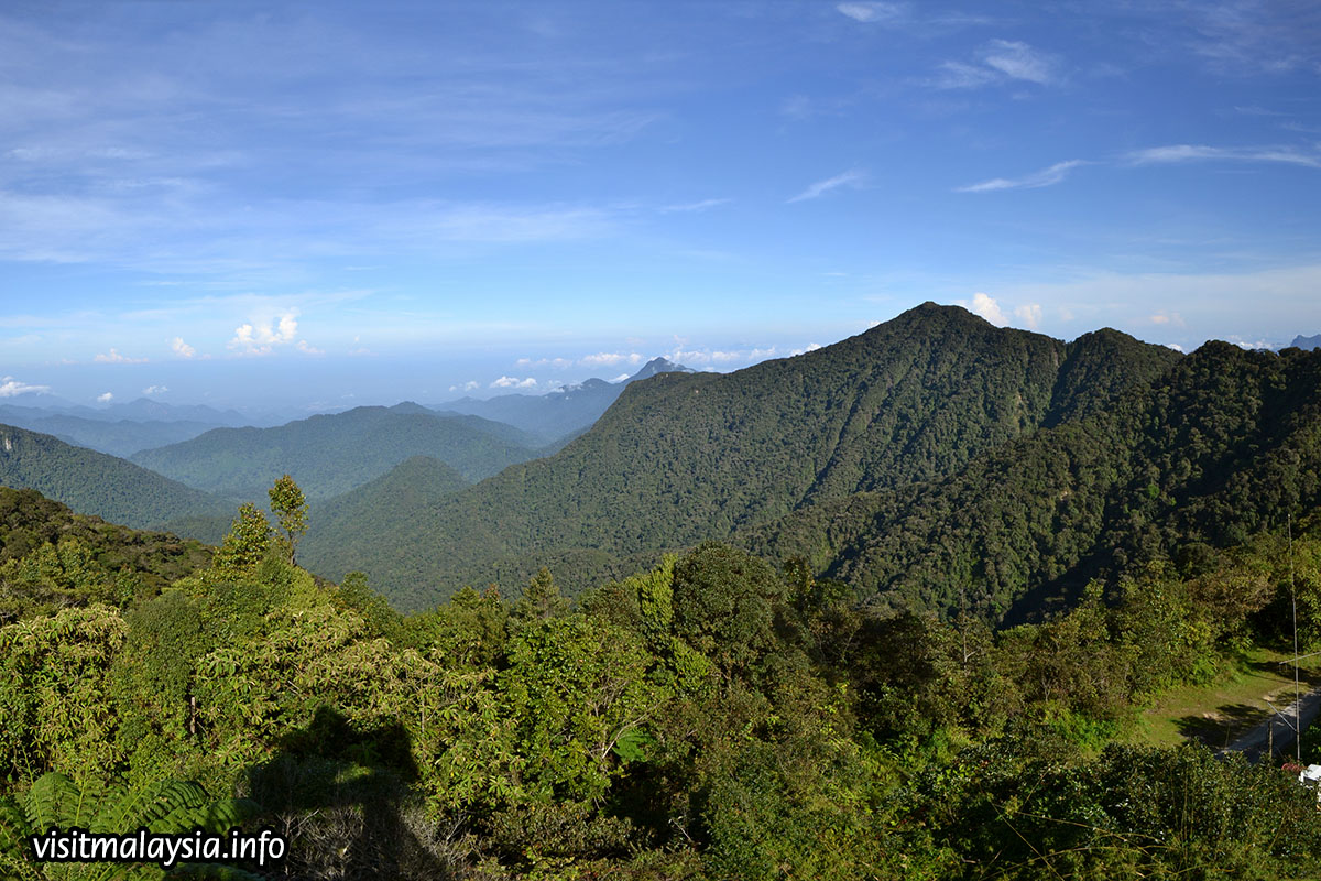
Gunung Brinchang is the second highest mountain in Cameron Highlands after Gunung Irau, at 2000 meters high. The highest tarmac road in Malaysia leads up to the top, but its condition is often haphazard (especially the later portion), due to the copious amounts of rain and moisture. When not assailed by heavy mist, the watchtower at the peak provides an incredible view of towns, valleys and mountains stretching towards the horizon. This makes Gunung Brinchang a popular viewpoint for visitors to admire the scenery and landscapes of Cameron Highlands. The fabled mossy forest also grows at its highest elevations, with a boardwalk to explore this fascinating biotope.
The narrow access road begins at a left turning along the main road, if travelling down the slope from Kea Farm, immediately after the Butterfly Garden (which will be at right). Next, follow the road for 2km until you reach the Sungai Palas Boh Tea Plantation junction. Turn left (right goes to the tea estate) and you will soon be on a rough road that oscillates between tarmac and gravel for 7km. Along the way, visitors may chance upon avid birdwatchers combing the surrounding rainforest for birds to photograph. The route steeply ascends at the second half (here, t is common to smell the noxious fumes of cars coming from opposite direction, overheating their poorly-serviced brakes as they return downhill) before reaching a ridgetop for the last 2km, culminating at the peak where a series of telecommunication towers perch.

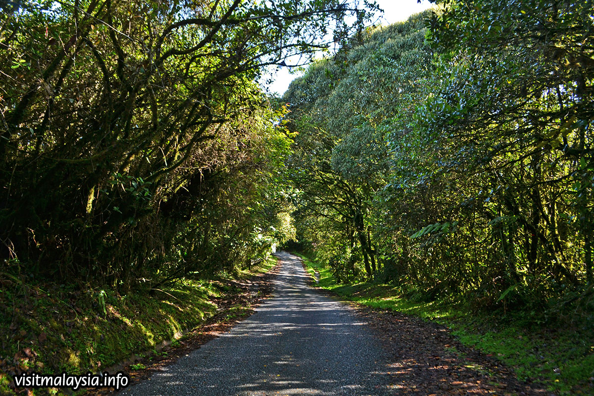
Alternatively, visitors can also hike up Gunung Brinchang through a jungle trail that starts near Brinchang town; turn left along the main road after the police station into a small route that leads to a small settlement (actually an army quarters). Look for a signboard that indicates the start of jungle walk No 1, enter the forest, and you'll soon be on the 3km trail that leads up to the peak. The hike is actually quite easy for moderately fit people and the trail marked by ribbons and red markings on trees. If the trail seems to end abruptly, look carefully; the continuation is often a small path you just missed along the hill slope, obscured by dense foliage or a near-vertical climb across tree trunks that makes it hard to notice.
Wait for all images below to finish loading, then click any of them to see a bigger photo appear at left. Related information and comments appear in this space automatically.